
Table of Contents
CoE – SURVEI standardizes Drone images for land Survey- Relevance for UPSC Exam
General Studies II- Governance, Transparency & Accountability, Citizens Charters.

In News
The Centre of Excellence on Satellite and Unmanned Remote Vehicle Initiative (CoE-SURVEI) has developed an Artificial Intelligence-based software which can automatically detect change on the ground, including unauthorized constructions and encroachments in a time series using satellite imagery.
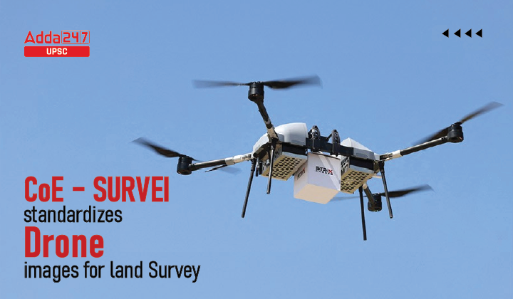
CoE-SURVEI
- The CoE-SURVEI, established by Directorate General Defence Estates at National Institute of Defense Estates Management, leverages the latest technologies in survey viz. satellite imagery, drone imagery and geo-spatial tools for effective land management and urban planning.
- This change detection software has been developed by CoE-SURVEI in collaboration with knowledge partner Bhabha Atomic Research Centre (BARC), Visakhapatnam.
- Presently, the tool uses National Remote Sensing Centre (NRSC) Cartosat-3 imagery with trained software.
- The changes are detected by analyzing satellite imagery of different time periods.
Where is it used?
- The application has been used by CoE in 62 Cantonments and a comparison has been done with the ground position in a recent period.
- The software facilitates better control of unauthorized activities, ensures accountability of field staff and helps in reducing corrupt practices.
- The CoE-SURVEI has also developed tools for vacant land analysis and 3D image analysis of hill cantonments.
Centre of Excellence in Land Survey in National Institute
- The prime objective of the Centre of Excellence in Land Survey in the National Institute of Defense Estates Management (NIDEM) is to train Government officers in emerging survey technologies like drone (/topic/drone) surveys and satellite imagery (/topic/satellite imagery) based surveys.
- Nowadays real-time monitoring systems based on digital photogrammetric techniques, high-resolution satellite imagery, airborne and terrestrial laser scanner devices can give a set of powerful tools for geometric surveying and modelling. The Centre of Excellence is focused on such new techniques of the survey.
- All steps will be taken to bring the Centre of Excellence into the national arena to become a premier Training Centre for Survey in latest techniques.

 TSPSC Group 1 Question Paper 2024, Downl...
 TSPSC Group 1 Answer key 2024 Out, Downl...
 UPSC Prelims 2024 Question Paper, Downlo...
