
Table of Contents
Coastal Vulnerability Index
Relevance
”GS 3: Environment & Ecology, Climate Change, Coastal Vulnerability”
Context
- Indian National Centre for Ocean Information Services (INCOIS) has carried out coastal vulnerability assessment for the entire Indian coast at the states level to bring out an atlas comprising 156 maps on 1:1,00,000 scales to prepare a Coastal Vulnerability Index (CVI).
- INCOIS has published an atlas using data on sea-level rise, coastal slope, shoreline change rate, coastal elevation, coastal geomorphology, tidal range, and significant wave height.
Key observation
- According to the studies conducted, as many as 124 km of coastal stretch was recorded under very high coastal vulnerability which was 5.36 per cent of the total coastline of the state.
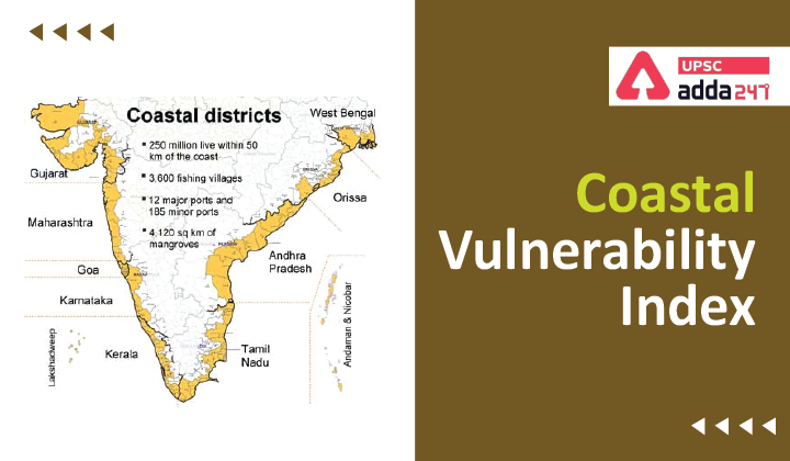
- From this CVI, it can be delineated that Gujarat’s 124 coastal kilometres or 5.36% are going to get affected, Maharashtra’s 11 km or 1.22% and then Karnataka & Goa’s 48 km or 9.54%, Kerala 15 km or 2.39%, Tamil Nadu 65 km or 6.38%, Andhra Pradesh 6 km or 0.55 %, Odisha 37 km or 7.51% West Bengal 49 km or 2.56%, Lakshadweep Islands 1 km or 0.81%, Andaman Islands 24 km or 0.96km and the Nicobar Islands 8 km or 0.97%.
How CVI is different from the traditional mapping method?
- While the maps determine the coastal risks due to future sea-level rise based on the physical and geological parameters for the Indian coast, the CVI uses the relative risk that physical changes will occur as sea-level rises are quantified based on parameters like: tidal range; wave height; coastal slope; coastal elevation; shoreline change rate; geomorphology; and historical rate of relative sea-level change.
- Coastal vulnerability assessments can be useful information for coastal disaster management and building resilient coastal communities.
What is Multi-Hazard Vulnerability Mapping (MHVM)?
- A coastal Multi-Hazard Vulnerability Mapping (MHVM) was additionally carried out utilizing parameters like sea stage change fee, shoreline change fee, high-resolution coastal elevation, excessive water stage from tide gauges and their return durations.
- These parameters had been synthesized to derive the composite hazard zones that may be inundated alongside the coastal low-lying areas attributable to excessive flooding occasions.
- This MHVM mapping was carried out for the complete mainland of India on a 1:25000 scale. These maps depict the coastal low-lying areas uncovered to coastal inundation.
About INCOIS
- It was established as an autonomous body in 1999 under the Ministry of Earth Sciences (MoES).
- It issues alerts on Potential Fishing Zone, Ocean State Forecast, Tsunami Early Warning, Storm Surge Early Warning, High Wave Alerts, etc., through dedicated ocean modelling, observations, computation facilities and marine data centre.
- It also provides technical solutions and advice to the respective State Governments and Union Territories to deal with coastal management.
Key Benefits of Coastal Vulnerability Index
- Coastal vulnerability assessments will be helpful info for coastal catastrophe administration and constructing resilient coastal communities.
- The study of 28 years of satellite data by the National Centre for Coastal Research (1990-2018) indicates that 33.6 per cent of the Indian coast is eroding with varying rate of changes. In this situation constant check is the need of the hour.


 TSPSC Group 1 Question Paper 2024, Downl...
 TSPSC Group 1 Answer key 2024 Out, Downl...
 UPSC Prelims 2024 Question Paper, Downlo...
