
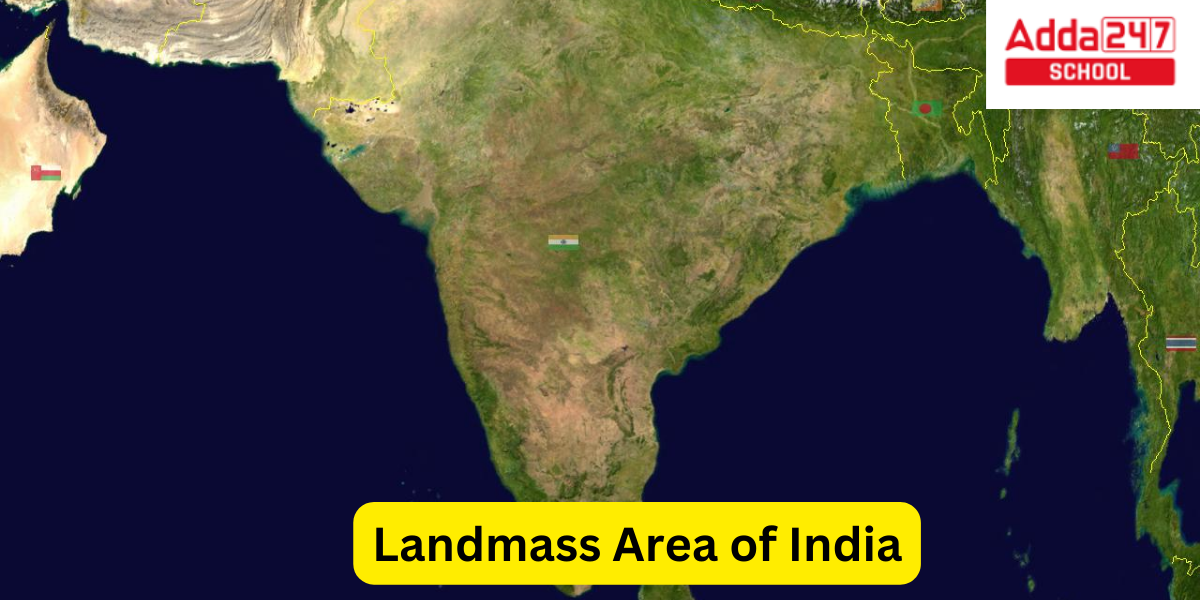
Total Area of India
India is located between 8°4′ north (the mainland) and 37°6′ north latitude and 68°7′ east to 97°25′ east longitude, north of the equator. With a total Area of India 3,287,263 square kilometers, it is the seventh-largest country in the world. India has a length of 2,933 km (1,822 mi) from east to west and 3,214 km (1,997 mi) from north to south. Its land border measures 15,200 km (9,445 mi), and its coastline measures 7,516.6 km (4,671 mi).
Total Area of India in Square Kilometers
When we talk about Area of India, we are talking about the landmass Area of India. Let us have a look at the Landmass Area of India in Square kilometers:
- Landmass Area of India is 3,287,263 square kilometers.
- India expands into and is bordered by the Indian Ocean on the south; specifically, it is surrounded by the Bay of Bengal on the east, the Arabian Sea on the west, the Lakshadweep Sea on the southwest, and the Indian Ocean itself on the south.
- India and Sri Lanka are geographically separated by the Palk Strait and Gulf of Mannar, and the Maldives are located 125 kilometres (78 miles) south of India’s Lakshadweep Islands across the Eight Degree Channel.
- Located 1,200 kilometres (750 miles) southeast of the mainland, India’s Andaman and Nicobar Islands are maritime neighbours with Myanmar, Thailand, and Indonesia.
- Kanyakumari is located slightly south of the southernmost point in India, which is Indira Point on Great Nicobar Island (8°4′38′′N, 77°31′56′′E).
- The Indira Col in Siachen Glacier is the farthest point in the north that is governed by India.
- From the baseline of the shore, India’s territorial waters stretch out into the ocean for a distance of 12 nautical miles (13.8 mi; 22.2 km).
- With 2,305,143 km2, India has the 18th-largest Exclusive Economic Zone (890,021 sq mi).
The Himalayan mountain range, which India shares borders with China, Bhutan, and Nepal, essentially defines its northern borders. The Karakoram and Western Himalayan peaks, the Punjab Plains, the Thar Desert, and the Rann of Kutch salt marshes make up its western border with Pakistan. India and Burma are divided by the Chin Hills and Kachin Hills, two heavily forested mountain ranges in the extreme northeast. The Indo-Gangetic Plain’s watershed region, the Khasi and Mizo Hills, and Bangladesh’s eastern border all play a significant role in defining this country’s eastern boundary.
The longest river that originates in India is the Ganges. Most of northern, central, and eastern India is submerged by the Ganges-Brahmaputra system, whereas most of southern India is covered by the Deccan Plateau. The third-highest peak in the world, Kangchenjunga, is located in the Indian state of Sikkim and is 8,586 m (28,169 ft) above sea level. India’s climate spans from equatorial in the extreme south to alpine and tundra in the upper Himalayan highlands. India is located on the Indian Plate, which is a portion of the Indo-Australian Plate in the north.
Political & Physical Map of India with States 2023
Total Area of India and Population
In accordance to the Landmass Area of India, the Population density of India is very high. Currently, it is also expected that India has overtaken China as the most populous country in the World, even with the fact that Landmass Area of India is seventh largest in the world.
- India is the most populous nation in the world. India’s population in 2021 was estimated to be 1.38 billion people based on government statistics.
- The population increased to 1.2 billion people between 1975 and 2010, surpassing the billion-person threshold in 2000.
- By 2023, India is anticipated to overtake China as the world’s most populated nation.
- By 2030, it is projected to have more than 1.5 billion inhabitants, and by 2050, that number is projected to rise to 1.7 billion. The rate of population increase is slowing down.
- Its population growth rate in 2017 was 0.98%, placing it 112nd in the world; in contrast, India’s population rose by 2.3% year from 1972 to 1983.
- Indians’ median age in 2022 was 28.7 years, while China’s was 38.4 and Japan’s was 48.6. By 2030, India’s dependency ratio will be just over 0.4.
- However, India’s population of children has been declining since it reached its peak more than ten years ago. Since 2007, there have been fewer children under the age of five than there were in 2007.
- A little later, in 2011, the number of Indians under the age of 15 reached a peak, and it is currently falling.
India is home to more than 2000 ethnic groups, every major religion, four major language families (Indo-European, Dravidian, Austroasiatic, and Sino-Tibetan), as well as two language isolates: Nihali, which is spoken in some of Maharashtra, and Burushaski, which is spoken in some of Jammu and Kashmir. 700,000 citizens of the United States live in India, where there are 1,000,000 Anglo-Indians. They make up more than 0.1% of India’s overall population. The linguistic, genetic, and cultural diversity of the country of India is, overall, only surpassed by the continent of Africa.
In 2016, there were 944 females for every 1000 males, up from 940 in 2011. For the past two decades, this ratio has been on the rise, after experiencing a century-long decrease.
President of India List from 1950 to 2023
Total Area of India State Wise
According to the 2011 census, the states and union territories of the Republic of India are listed in size order from largest to smallest. There are 28 states and 8 union territories in India, including Delhi, the nation’s capital.
Following table shows the Landmass Area of India State Wise, also including the Landmass Area of India within the Union Territories:
| State / Union Territory | Area of India State Wise (km2) | National share of Area of India State Wise (%) |
|---|---|---|
| States | ||
| Rajasthan | 342,239 | 10.41 |
| Madhya Pradesh | 308,245 | 9.38 |
| Maharashtra | 307,713 | 9.36 |
| Uttar Pradesh | 240,928 | 7.33 |
| Gujarat | 196,024 | 5.96 |
| Karnataka | 191,792 | 5.83 |
| Andhra Pradesh | 162,975 | 4.96 |
| Odisha | 155,707 | 4.74 |
| Chhattisgarh | 135,191 | 4.11 |
| Tamil Nadu | 130,058 | 3.96 |
| Telangana | 112,077 | 3.41 |
| Bihar | 94,163 | 2.86 |
| West Bengal | 88,752 | 2.70 |
| Arunachal Pradesh | 83,743 | 2.55 |
| Jharkhand | 79,716 | 2.42 |
| Assam | 78,438 | 2.39 |
| Himachal Pradesh | 55,673 | 1.70 |
| Uttarakhand | 53,483 | 1.63 |
| Punjab | 50,362 | 1.53 |
| Haryana | 44,212 | 1.34 |
| Kerala | 38,863 | 1.18 |
| Meghalaya | 22,429 | 0.682 |
| Manipur | 22,327 | 0.679 |
| Mizoram | 21,081 | 0.641 |
| Nagaland | 16,579 | 0.504 |
| Tripura | 10,486 | 0.319 |
| Sikkim | 7,096 | 0.216 |
| Goa | 3,702 | 0.113 |
| Union Territories | ||
| Delhi | 1,484 | 0.045 |
| Dadra and Nagar Haveli and Daman and Diu | 603 | 0.018 |
| Puducherry | 479 | 0.015 |
| Chandigarh | 114 | 0.003 |
| Lakshadweep | 32 | 0.001 |
| Jammu and Kashmir | 42,241 | 1.28 |
| Ladakh | 59,146 | 1.80 |
| Andaman and Nicobar Islands | 8,249 | 0.251 |
| India | 3,287,263 | 100 |
Total Area of India in the World
Now, let us have a look at the Landmass Area of India in comparison to the entire Landmass Area of the World. India is the seventh-largest nation in the world by area. The Landmass Area of India is about 3.28 million square kilometers. The entire country of India is located on the Indian Plate, a significant tectonic plate that was created when it detached from the former continent Gondwanaland (ancient landmass, consisting of the southern part of the supercontinent of Pangea). The Indian and Australian plates make up the Indo-Australian plate. The Indian Plate started moving north at around 15 cm/year (6 in/yr) in the late Cretaceous Period, about 90 million years ago.
Western Ghats Biodiversity, States, Mountain and Highest Peak
Coastal Area of India
The coastal area of India refers to a region along the country’s extensive coastline (sealine), which stretches over 7,517 kilometers (4,671 miles). The coastlines of India are located along the Arabian Sea of India, the Bay of Bengal of India, and the Indian Ocean. The coastal region of India is known for its diverse geography, including sandy sea beaches, rocky cliffs, mangrove forests, and estuaries. Some of the coastal cities in India include Mumbai, Kolkata, Chennai, Kochi, and Goa. The coastal area of India region is also an important economic hub, with major ports and fishing industries.
Geographical Area of India
The geographical area of India is approximately 3,287,263 square kilometers (1,269,219 square miles). The geographical area of India is the seventh largest country in the world by land area. geographical area of India is located in South Asia, bordered by Pakistan to the west, China and Nepal to the north, Bhutan to the northeast, and Bangladesh and Myanmar to the east. The geographical area of India also shares maritime borders with Sri Lanka, the Maldives, and Indonesia. India’s topography is diverse, with the Himalayan mountain range in the north, the Deccan Plateau in the south, and the Indo-Gangetic Plain in the north-central region. The country also has several major rivers, including the Ganges, Brahmaputra, and Yamuna.


 Best CLAT Coaching Classes in Rajouri Ga...
 IPMAT Coaching in Rajouri Garden Delhi |...
 CUET Coaching in Rajouri Garden Delhi | ...