
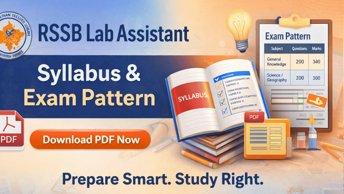
The Rajasthan Staff Selection Board is going to recruit 804 eligible candidates for Rajasthan Lab Assistant and Junior Lab Assistant posts in various departments across the state. All interested candidates who want to apply for the RSSB Lab Assistant Vacancy 2026 must understand the Syllabus and Exam Pattern details before appearing in the examination.
The RSSB is based on the Lab Assistant Syllabus, and the Junior Lab Assistant syllabus will be conducted at multiple exam centres across the state. The RSSB लैब असिस्टेंट सिलेबस की जानकारी हिंदी में प्राप्त करने के लिए उम्मीदवार इस लेख को देख सकते हैं।
Rajasthan RSSB Lab Assistant Syllabus 2026 Out
The Lab Assistant and Junior Assistant syllabus gives a clear idea to aspirants who are planning to start their preparation for the upcoming exam.
With this syllabus, candidates can identify their weak areas and create an effective strategy to clear the exam. The syllabus and exam pattern for Lab Assistant and Junior Assistant are different and are mainly based on two subjects: Science and Geography.
| RSSB Lab Assistant Syllabus 2026: Key Highlights |
|
Important Details
|
|
Syllabus and Exam Pattern
|
|
Selection Process
|
|
Exam Date
|
RSMSSB Lab Assistant Syllabus 2026: Subject-wise
The RSSB Lab Assistant syllabus is designed to test candidates’ general awareness and subject knowledge required for laboratory work. The Science syllabus for Lab Assistant and Junior Assistant is divided into Paper I and Paper II, while the Geography syllabus for Lab Assistant is divided into Part A and Part B. Candidates should prepare each section carefully to score well in the written exam.
Lab Assistant & Junior Lab Assistant Syllabus (Science) For Paper 1 & Paper 2
Here, for the ease of the candidates, we have provided the details of the RSSB Lab Assistant Syllabus (Science) for Paper 1 & Paper 2 in the article below. Candidates can take the subject-wise details from the article.
Paper I Syllabus – General Knowledge
Paper I carries significant weight in the exam and mainly tests the candidate’s understanding of Rajasthan and general awareness.
| Paper I – General Knowledge Syllabus |
RSSB Lab Assistant Syllabus – General Knowledge
|
Rajasthan Lab Assistant Syllabus: Geography
|
|
Paper 2 (Science) Lab Assistant syllabus. The Science syllabus is based on Physics, Chemistry, and Biology subjects at the 10+2 level.
| General Science |
Biology
|
|
Physics
|
Chemistry
|
Rajasthan RSSB Lab Assistant Geography Syllabus For Part A & B
Here, we have provided the RSSB Lab Assistant geography Syllabus 2026 for the Geography Exam in the article below:
| RSSB Lab Assistant Geography Syllabus (In Hindi) | |
| Topics (English) | Topics (Hindi) |
|
|
Lab Assistant Syllabus: Geography & 50-District Factor
Many aspirants make the mistake of studying from outdated books, but for the RSSB Lab Assistant Exam 2026, trusting old maps can cost you marks. Technically, while the official लैब असिस्टेंट भूगोल सिलेबस pdf simply highlights “Geography of Rajasthan” and “Administrative Setup,” it now implicitly refers to the newly reorganised 50-district setup.
After Rajasthan announced new district boundaries, RSSB began updating its question bank. Candidates should update their preparation accordingly. Recent exams like CET and Junior Accountant have included GK questions on new districts such as Anupgarh, Balotra, and Dudhu.
- Updated River Systems: Candidates should study the rivers flowing through the newly formed districts. For example, the Luni River now passes through the newly created Balotra district.
- Revised Mineral Resources: Major mines and mineral resource locations should be prepared according to the updated district boundaries for accuracy.
- Wildlife and National Parks: Wildlife sanctuaries and conservation reserves must be studied as per the new 50-district administrative structure instead of the earlier 33-district map
RSSB Lab Assistant & Junior Lab Assistant Exam Pattern 2026
The RSSB Lab Assistant Exam Pattern 2026 has been prescribed by the Rajasthan Staff Selection Board to evaluate candidates through a written objective-type examination. The Rajasthan Lab Assistant Vacancy 2026 examination is conducted in offline mode (OMR-based) and consists of two separate papers. Both papers are mandatory for all candidates.
RSMSSB Lab Assistant Science Exam Pattern
- Paper I: General Knowledge of Rajasthan, India, the World, Current Affairs, and Educational Psychology. (100 Questions, 200 Marks).
- Paper II: Science (Physics, Chemistry, and Biology) at Secondary and Senior Secondary levels. (100 Questions, 200 Marks).
- Total: 400 marks with a total duration of 4 hours.
| RSSB Lab Assistant Exam Pattern 2026: (Science) | ||||
| S.No. | Sections | Total Question | Total Marks | Time Duration |
| 1 | Geographical, historical, cultural and General Knowledge, Current Affairs of Rajasthan, General Knowledge of the World and India, Educational Psychology | 100 | 200 | 2 hours |
| 2 | Science | 100 | 200 | 2 hours |
| Total | 200 | 400 | 4 hours | |
RSMSSB Lab Assistant Geography Exam Pattern
- Part A: General Knowledge of Rajasthan (History, Art, Culture, and Geography) – 100 Marks
- Part B: Subject-specific knowledge of Geography – 200 Marks
- Total: 300 Marks, with a total duration of 3 Hours
| RSSB Lab Assistant Exam Pattern 2026: (Geography) | ||||
| S.No. | Sections | Total Question | Total Marks | Time Duration |
| 1 | Geographical, historical, cultural and geographical aspects of Rajasthan | 100 | 100 | 3 hours |
| 2 | Geography | 200 | 200 | |
| Total | 300 | 300 | 3 hours | |
RSSB Lab Assistant Syllabus PDF Download
Candidates preparing for the RSSB Lab Assistant Examination 2026 can download the official syllabus PDF from the Rajasthan Staff Selection Board (RSSB) website. The RSSB लैब असिस्टेंट सिलेबस PDF provides complete information on the exam pattern, marking scheme, subject-wise Lab Assistant Syllabus, and important guidelines.
By downloading the Lab Assistant syllabus PDF, candidates can clearly understand the exam requirements and plan their preparation as per the latest notification. Applicants should rely only on the official Lab Assistant syllabus PDF for accurate and updated preparation.
Rajasthan Lab Assistant Syllabus: 5 Option Rule (Latest Update)
As per the official notification of the RSSB Recruitment, the 5th option rule has been added in the Lab Assistant and Junior Lab Assistant exams. For the ease of the candidates, we have provided the 5th option rule explanation in detail in the article below:
- Every question now has 5 options (A, B, C, D, E).
- If a candidate does not want to attempt a question, they must darken circle ‘E’.
RSSB Lab Assistant Negative Marking Rules 2026
As per the revised exam rules, candidates appearing for the Lab Assistant exam must mark at least one option for every question. Leaving any question blank is not allowed and will result in a deduction of one-third (1/3) marks for that question. Detailed rules are given below.
- If a candidate leaves all five circles (A, B, C, D, and E) blank for a question, it will be considered an unattempted error, and one-third of the marks assigned to that question will be deducted.
- Moreover, if a candidate does not mark any of the five options in more than 10% of the total questions, their OMR sheet will be cancelled, and they will be disqualified from the merit list.
- Selection Process Of Lab Assistant Vacancy 2026
Lab Assistant Selection Process 2026
The RSSB will conduct the two stages of the selection process to recruit eligible candidates for the Lab Assistant post in Rajasthan.
- Written Examination: The written examination will be conducted in an Objective-type OMR-based Format (Offline mode).
- Document Verification: Shortlisted candidates must present original academic and category certificates for verification.
Rajasthan Lab Assistant Preparation Tips
- Understand the syllabus– Understand the latest Lab Assistant Syllabus and Exam Pattern before starting preparation.
- Make a study plan- Focus on subject-wise preparation, especially Physics, Chemistry, Biology, and General Knowledge. Make a realistic study plan and allocate time to each subject daily.
- Practice previous paper and mock test – Practice previous year papers to understand exam trends and difficulty level. Take mock tests regularly to improve speed, accuracy, and time management.
- Quick Revision– Revise important topics and formulas regularly to improve retention. Prepare short notes for quick revision before the exam.
- Regular updates– Stay updated with current affairs related to Rajasthan. Avoid last-minute cramming and maintain consistency in your preparation.
| Also check |
| RSSB Lab Assistant Previous Year Question Papers |
| Rajasthan Lab Assistant Salary |

 TGSRTC Syllabus & Exam Pattern 2026 ...
 UPSSSC ASO Syllabus And Exam Pattern 202...
 AP Police SI Syllabus 2026 and Exam Patt...
 Adda247 Job portal has complete information about all Sarkari Jobs and Naukri Alerts, its latest recruitment notifications, from all state and national level jobs and their updates.